What's New
Research & Projects Publications
People
Data
Links
California Gap Analysis Project: Statewide Datasets
This page lists the statewide spatial datasets available online from the California Gap Analysis Project. Some of these data layers were compiled and used in the actual analysis, but others serve as base map information such as roads and geopolitical boundaries.
Click the GIF icons to view browse images of the data sets.
Click the META icons to view or download the data documentation.
Click the EXPORT icons with the RIGHT mouse button and select "Save Link As" to download ARC/INFO export files.
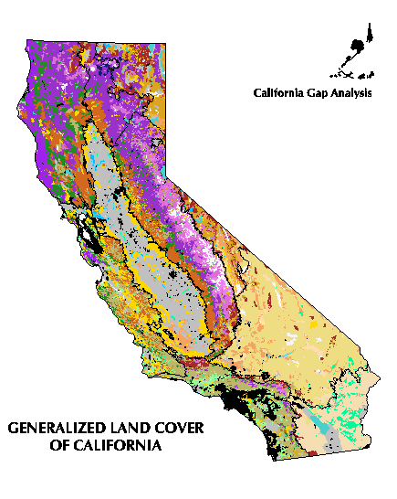
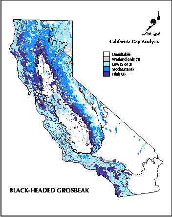
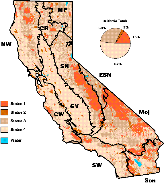
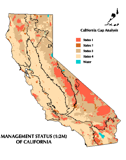
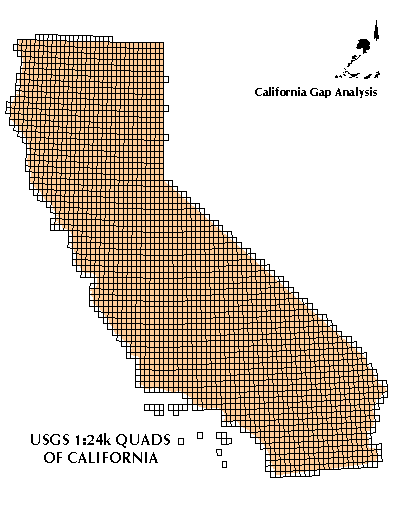
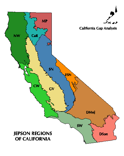
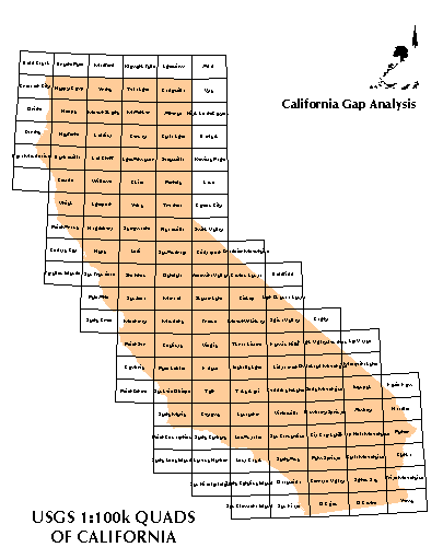
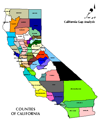
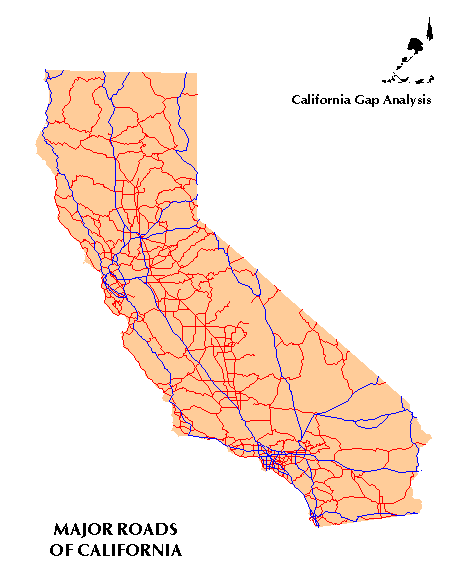
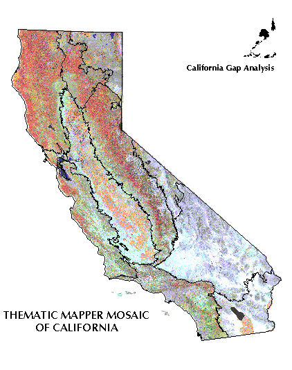
Name Description Zip Size Unzip Size Graphic Metadata Download LANDCOV Land cover of California, produced from Thematic Mapper imagery. 24.5 MB 109.3 MB VERT Predicted distributions for 455 terrestrial vertebrate species in California. Text file can be related to Landcov by the polygon id. (Updated 2/24/00 to include species B990 and B991 that were accidentally missing from the original version). 2.1 MB 27.3 MB MA Land stewardship and management status of California. (1:100,000 scale version) (This layer has not been maintained!) MA2M Land stewardship and management status of California. (1:2 million scale version) (This layer has not been maintained!) 2.6 MB 9.4 MB USGS24K Analytical results by USGS 1:24,000 quads of California. 1.1 MB 4.2 MB JEPSON Jepson ecological region boundaries of California. 1.0 MB 3.5 MB USGS100K USGS 1:100,000 quadrangle boundaries of California. 0.1 MB 0.3 MB COUNTY County boundaries of California. 1.0 MB 4.2 MB ROADS Major roads of California. 1.4 MB 4.4 MB TM100
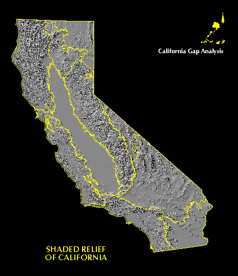
(Unix version)Landsat Thematic Mapper mosaic image of California (100 meter resolution, bands 3,4,5). 130 MB 289 MB TM100 (Windows version) Landsat Thematic Mapper mosaic image of California (100 meter resolution, bands 3,4,5). 110 MB 289 MB SHADE Shaded relief image of California, 100 meter resolution. (Wrap around problem fixed 8/15/02) 27.0 MB 96.0 MB
CA-GAP Home | Overview | Report | Download GIS | CD-ROM | Site Index | National GAP
Top of Page Send your comments to: fwd@bren.ucsb.edu UCSB Biogeography Lab Home